Longce appeared in the 11th China Surveying and Mapping Geographic Information Technology equipment Expo
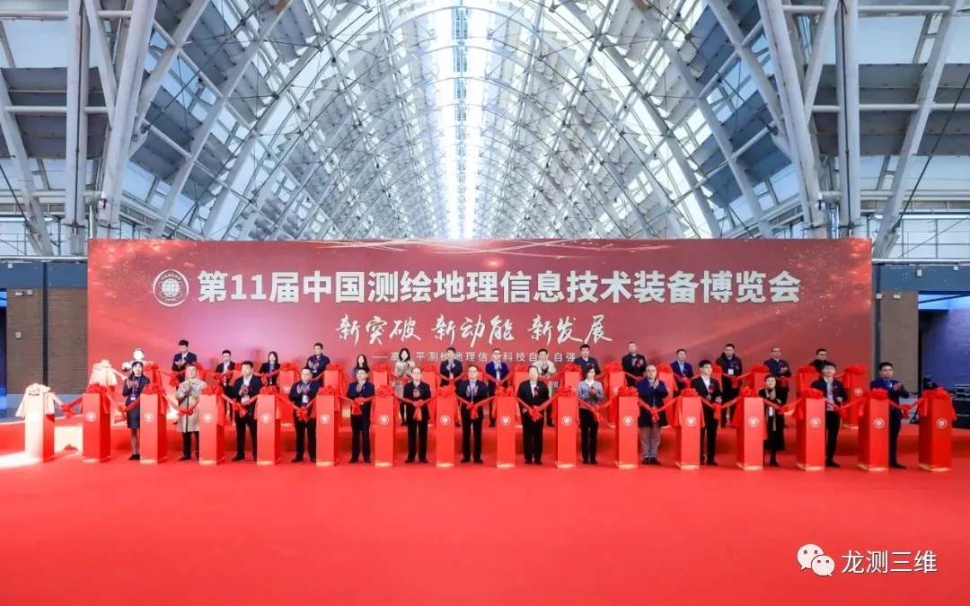
New breakthroughs, new driving forces and new development. Recently, the 11th China Surveying, Mapping, Geographic Information Technology and Equipment Expo was held in Qingdao Expo City Expo Center. Industry elites, academicians, experts and user representatives from surveying and mapping enterprises, scientific research institutes and universities all over the country will attend the exhibition.
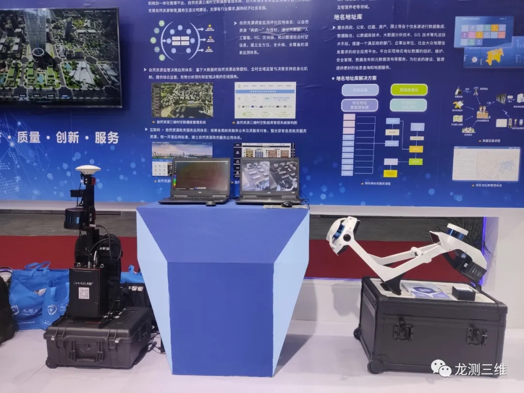
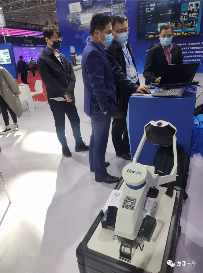
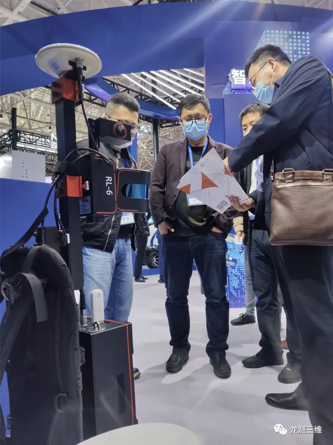
Our company with advanced SLAM technology and equipment to assist Speed China to appear in this grand event. On the scene of the exhibition, our company exhibited the wearable mobile scanning system NavVis VLX and the Osley mobile scanning and mapping robot SR-RL6.
The two products with unique appearance, powerful functions, high quality point cloud attracted many participants to stop and ask. Our staff warmly received and gave a presentation. Through in-depth communication, everyone gave full affirmation and positive evaluation to the products exhibited by our company, laying a foundation for the follow-up win-win cooperation.
As imaging modeling solution providers, Nanjing Longce sounding farming industry for more than ten years, relying on the SLAM scanning system, the ground three-dimensional laser scanner, with 3D scanners, unmanned aerial vehicle (uav) 3D modeling system and other advanced equipment, taking the tenet of "creating value for customers", participated in numerous three-dimensional digital project, won good reputation. In the future, Nanjing Longce will continue to make efforts in new products, new technologies and new models to make greater contributions to surveying and mapping geographic information technology and provide users with more professional real scene modeling solutions.



 Sweep WeChat yards pay attention to us
